Log in
All resources
Create a design
1,095,938 Free Images of Maps Of Carniola
charts and maps of the royal museums greenwich
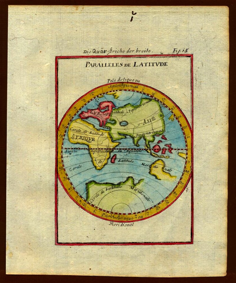
description de l'universe
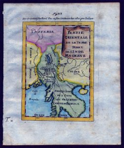
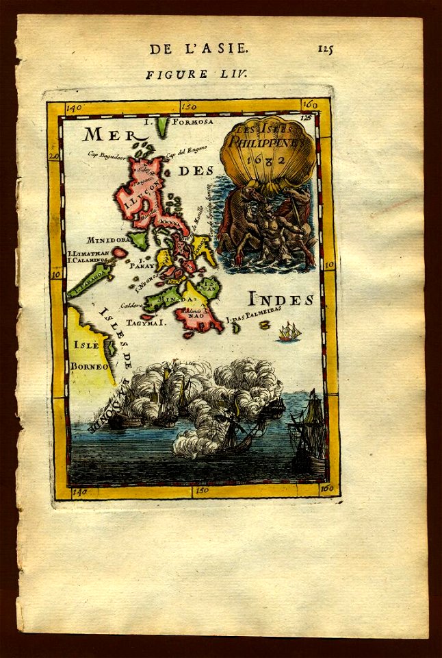
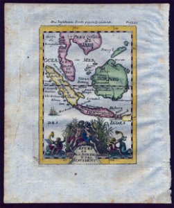
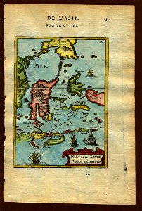
old maps of southeast asia
description des principales villes (1690)
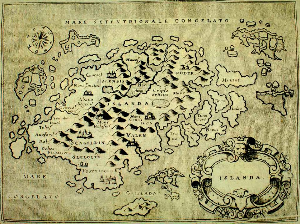
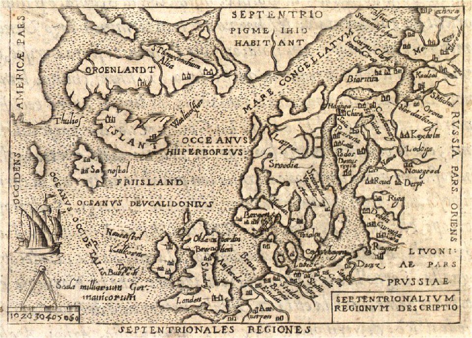
old maps of iceland
provided by landsbókasafn íslands
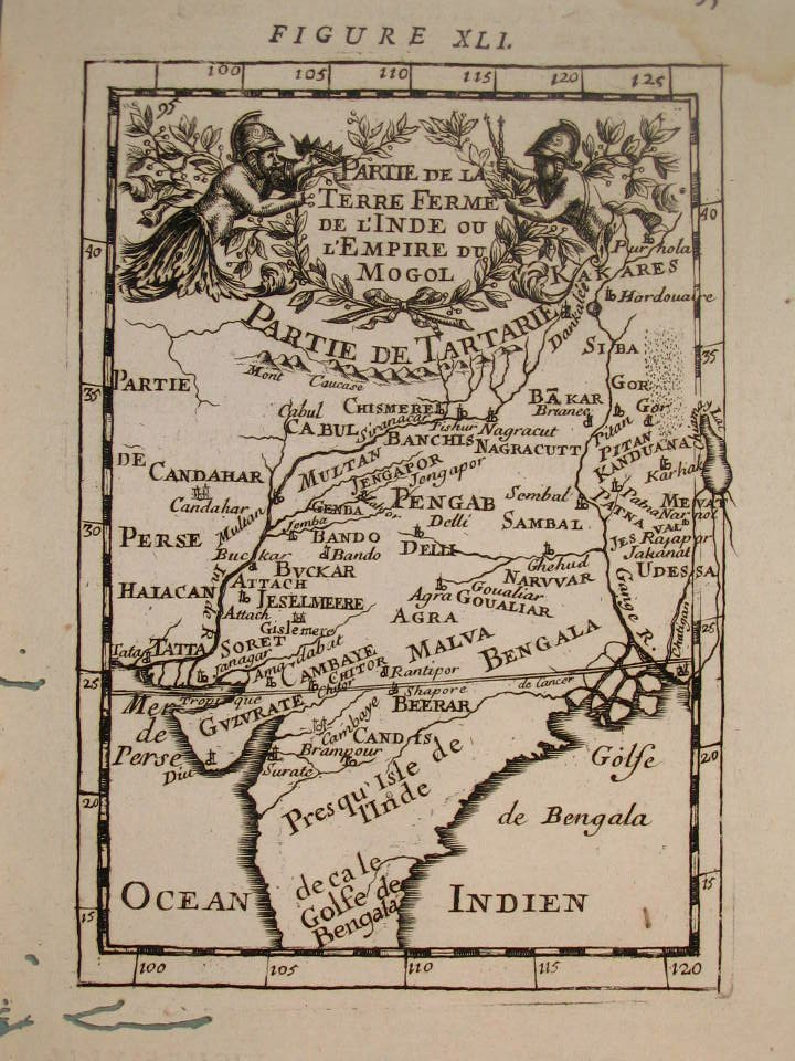
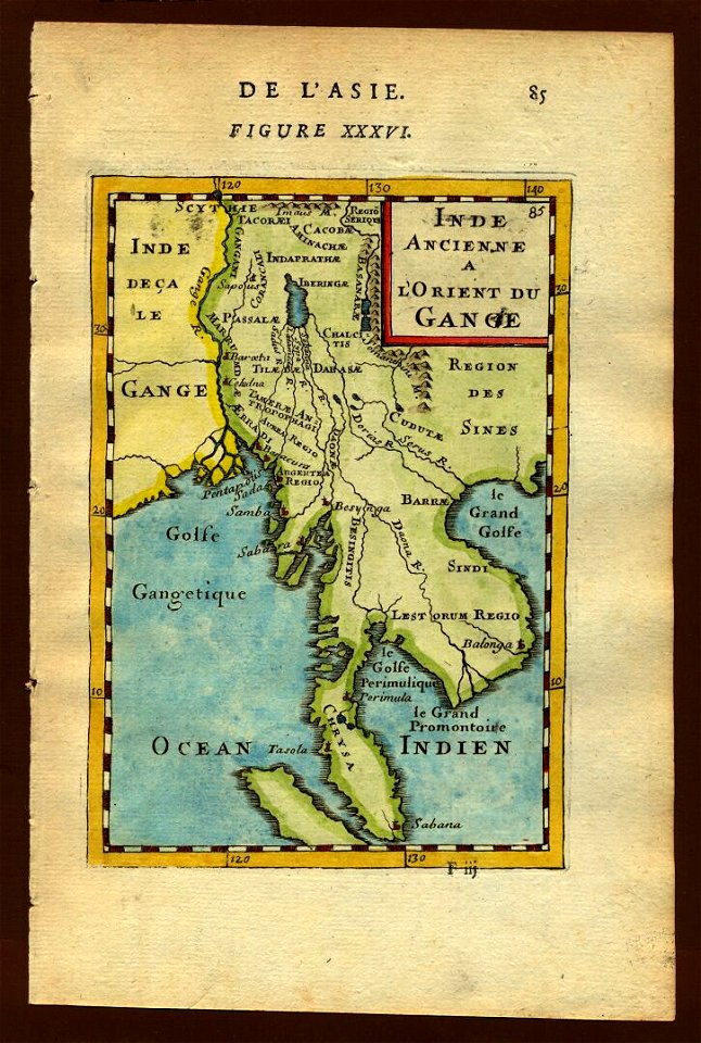
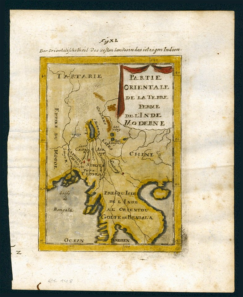
18th-century maps of india
thomas salmon (historian)
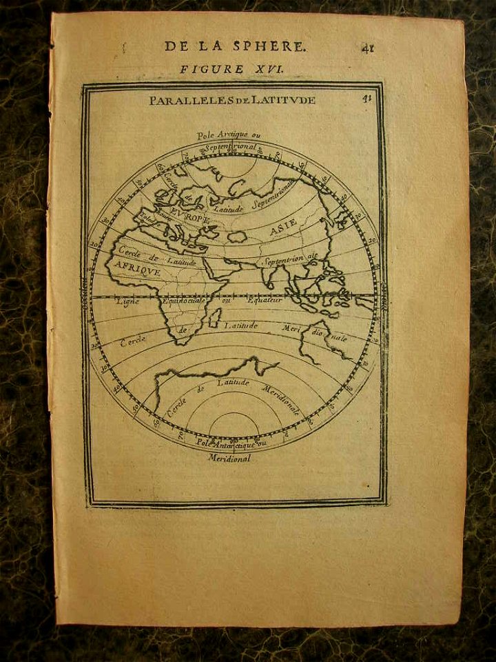
1710s maps of the world
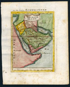
old maps of saudi arabia
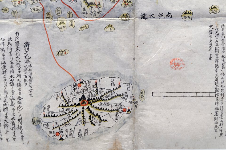
old maps of korea
british museum
historical maps of mughal empire
description de l'universe
description de l'universe
1710s maps of the world
description de l'universe
1710s maps of the world
old maps of southeast asia
description de l'universe
old maps of southeast asia
description de l'universe
description de l'universe
1710s maps of the world
description de l'universe
old maps of the world
description de l'universe
1680s maps of the world
persian gulf naming dispute
old maps of iran
old maps of southeast asia
description de l'universe
old maps of southeast asia
description de l'universe
description de l'universe
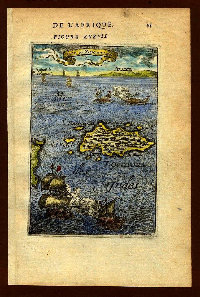
old maps of saudi arabia
description de l'universe
old maps of saudi arabia
old maps of southeast asia
description de l'universe
illustrations from letters from england
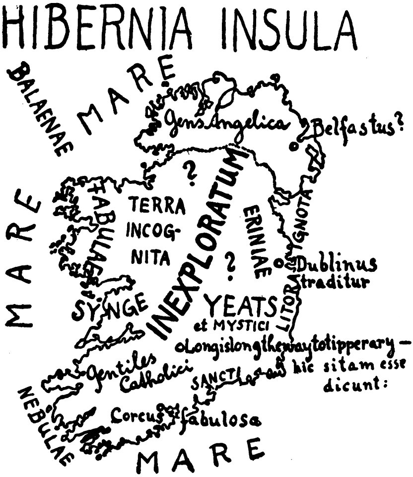
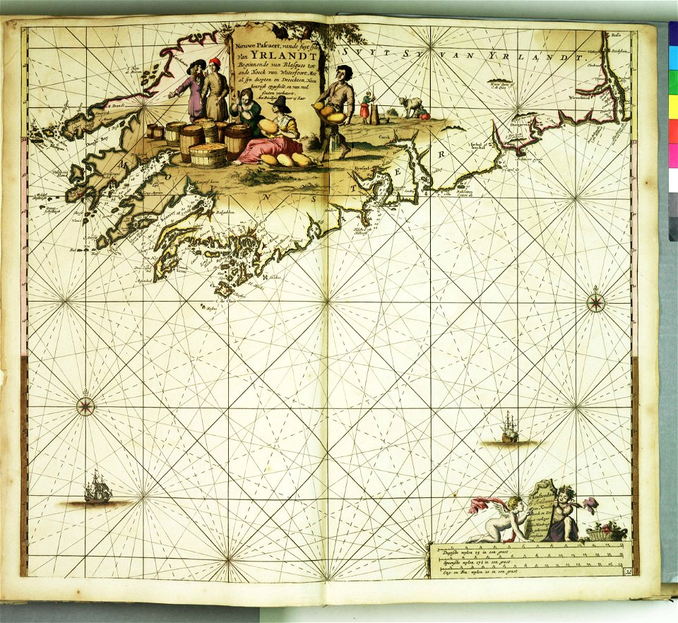
maps of ireland
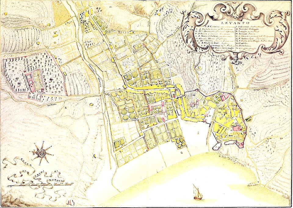
18th-century maps of liguria
levanto
18th-century maps of berlin
1712 in berlin
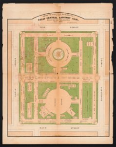
great central fair (philadelphia)
1864 maps of philadelphia
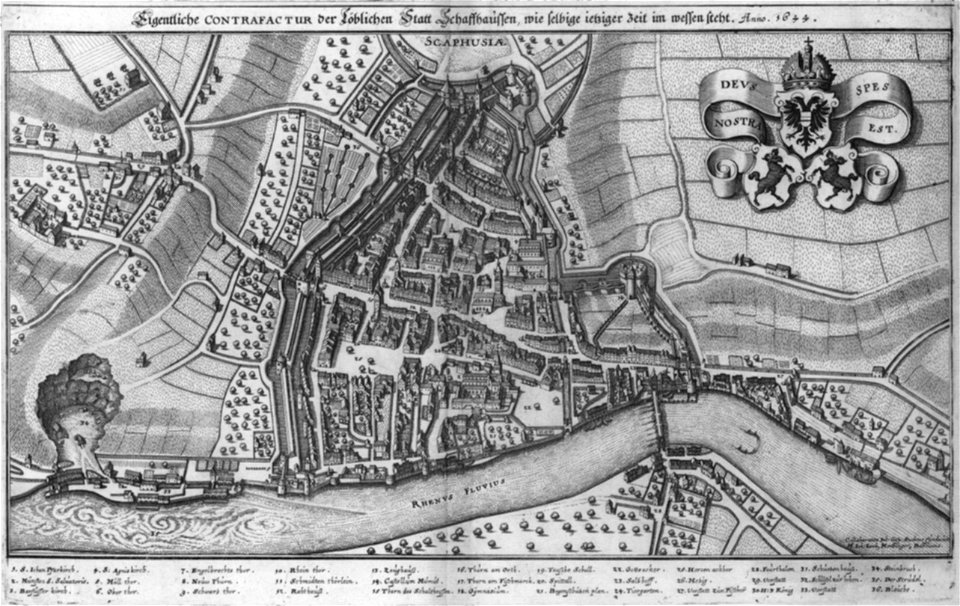
engravings by matthäus merian
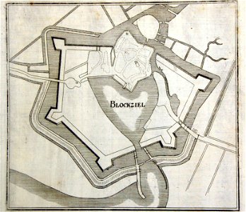
old maps of blokzijl
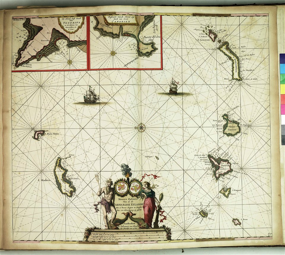
charts and maps of the royal museums greenwich
charts and maps of the royal museums greenwich
charts and maps of the royal museums greenwich
charts and maps of the royal museums greenwich
charts and maps of the royal museums greenwich
charts and maps of the royal museums greenwich
charts and maps of the royal museums greenwich
charts and maps of the royal museums greenwich
description des principales villes (1690)
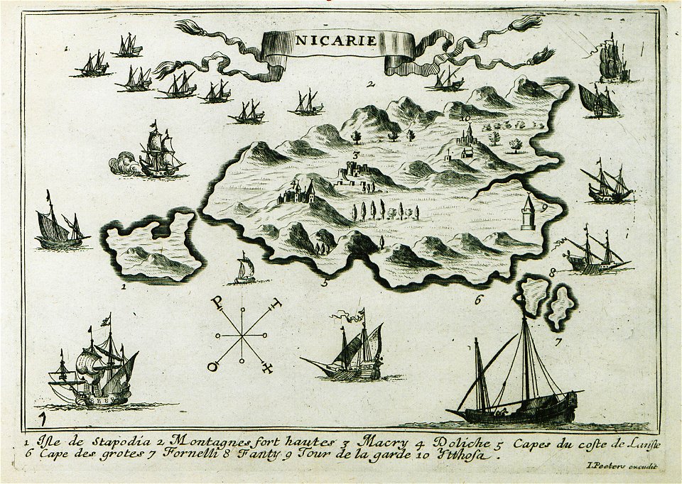
maps of icaria
description des principales villes (1690)
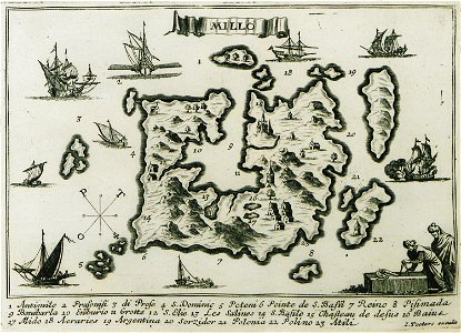
maps of milos
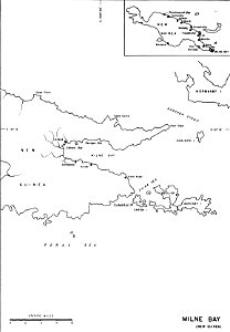
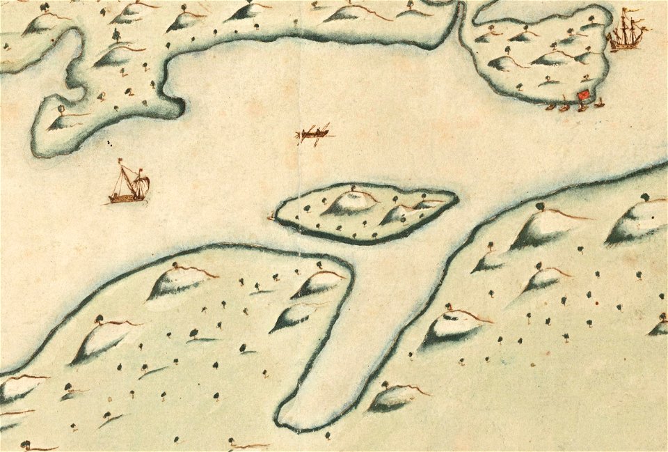
old maps of papua new guinea
milne bay
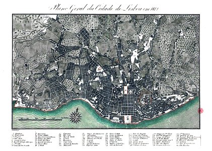
19th-century maps of lisbon
1812 in portugal
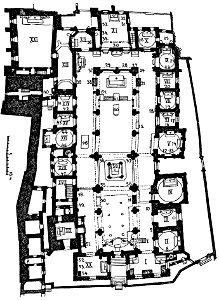
maps of the wawel cathedral
walery eljasz-radzikowski
voyage pittoresque de la grèce
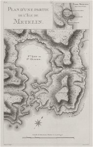
maps of lesbos
charts and maps of the royal museums greenwich
provided by landsbókasafn íslands
old maps of iceland
provided by landsbókasafn íslands
old maps of iceland
geographical illustrations by coronelli
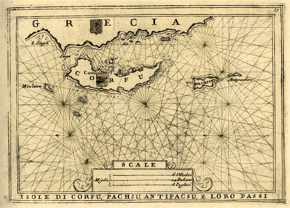
old maps of corfu
geographical illustrations by coronelli
old maps of corfu
description des principales villes (1690)
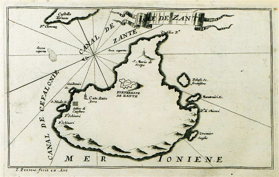
maps of zakynthos
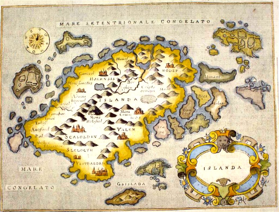
provided by landsbókasafn íslands
old maps of iceland
description des principales villes (1690)
maps of kefalonia
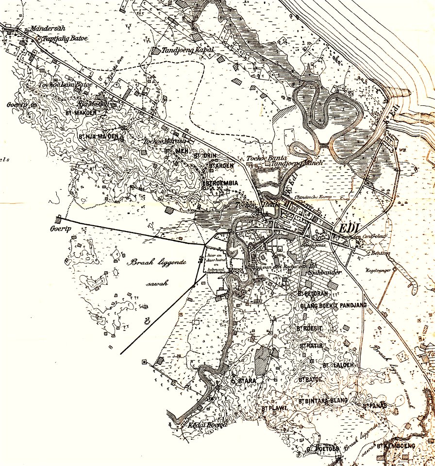
edi expedition
aceh war
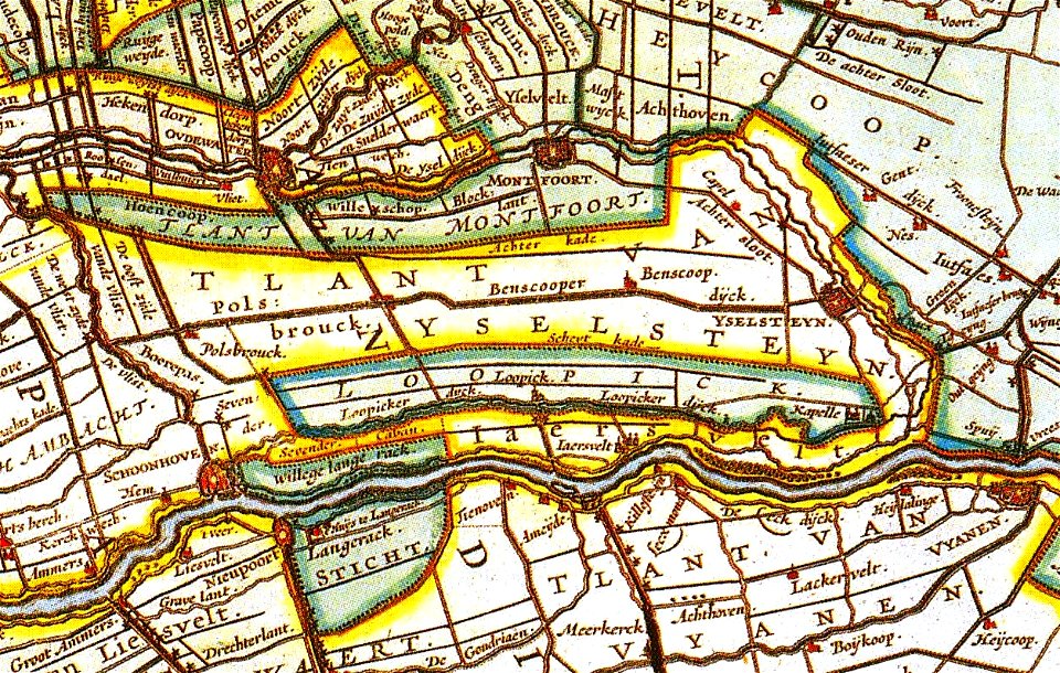
netherlands in the 1660s
old maps of utrecht
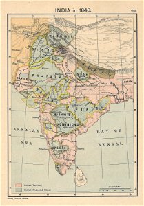
1848 in india
india
charts and maps of the royal museums greenwich
rhaetiae et valesiae
merian helvetiae
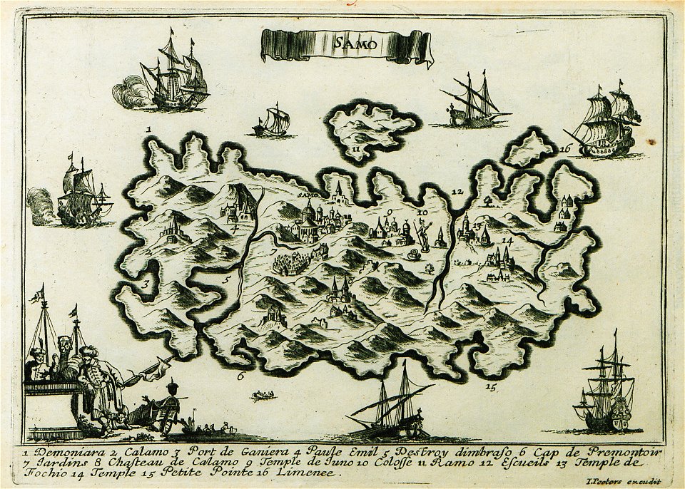
description des principales villes (1690)
maps of samos
nicolas de fer
roussillon
johann walch (engraver)
1805 engravings
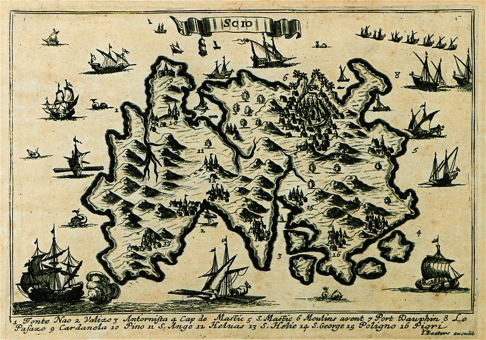
description des principales villes (1690)
maps of chios
edi expedition
aceh war
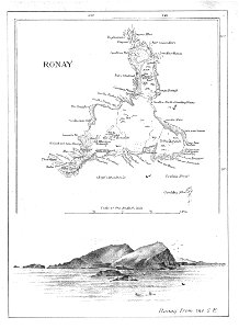
old maps of the outer hebrides
north rona
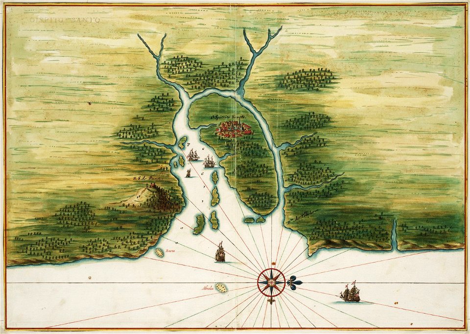
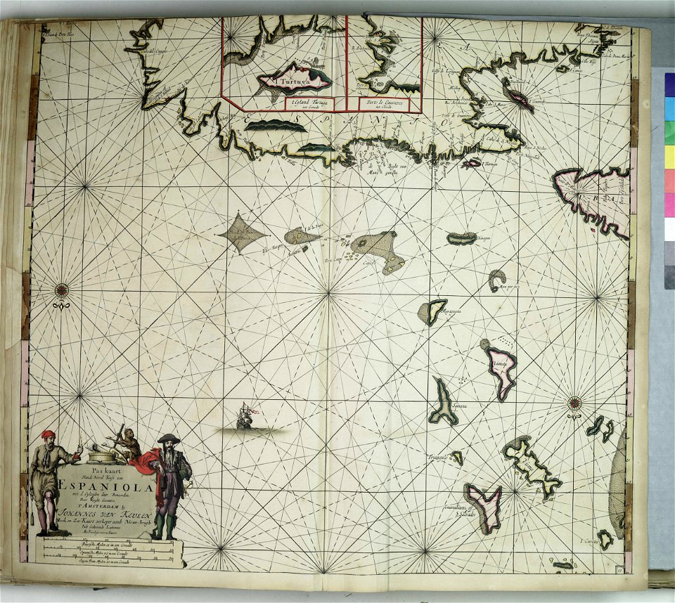
old maps of dutch brazil
1665
old maps of dutch brazil
itamaracá
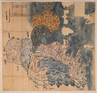
maps of osaka prefecture
settsu province
bungo province
keichō kuniezu
geographical illustrations by coronelli
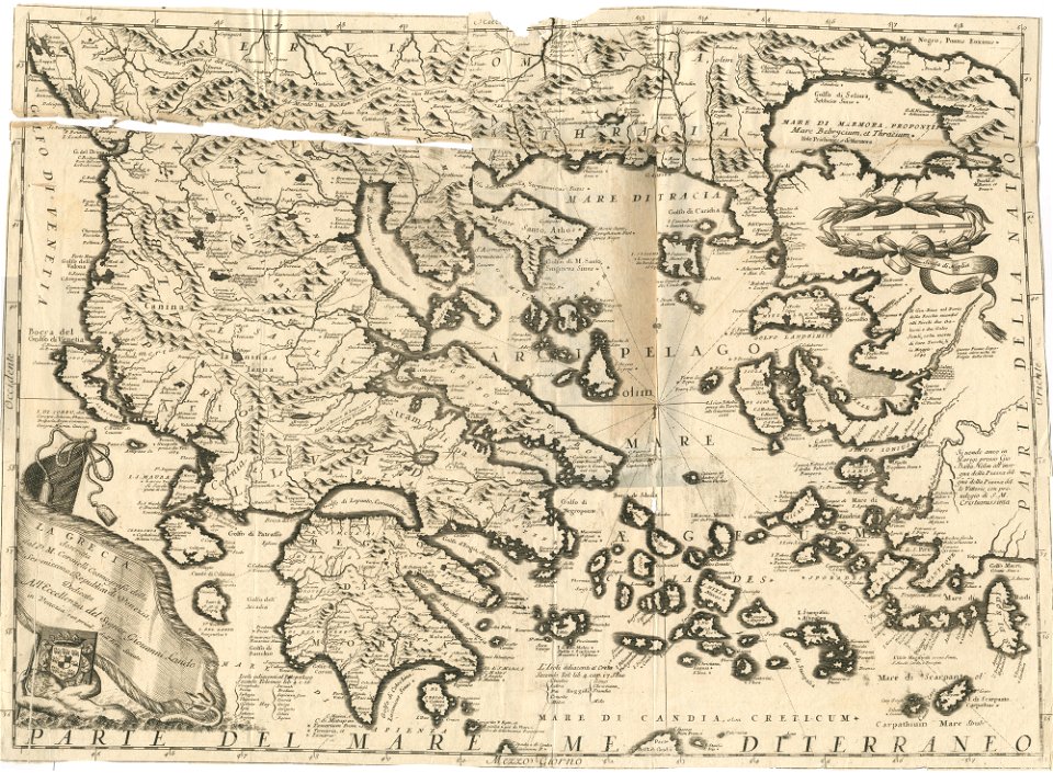
old maps of greece
charts and maps of the royal museums greenwich
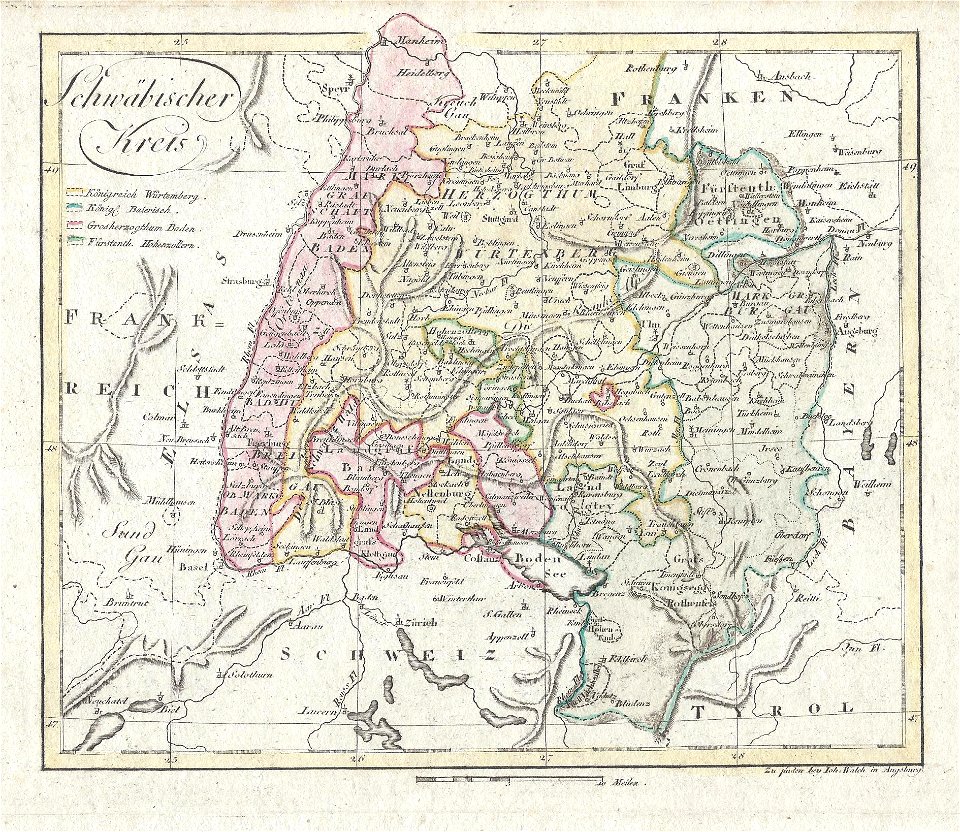
section schwarzenberg (1843)
oberreit
section schwarzenberg (1843)
oberreit
charts and maps of the royal museums greenwich
charts and maps of the royal museums greenwich
charts and maps of the royal museums greenwich
charts and maps of the royal museums greenwich
charts and maps of the royal museums greenwich
charts and maps of the royal museums greenwich
charts and maps of the royal museums greenwich
charts and maps of the royal museums greenwich
charts and maps of the royal museums greenwich
charts and maps of the royal museums greenwich
charts and maps of the royal museums greenwich
charts and maps of the royal museums greenwich
charts and maps of the royal museums greenwich
charts and maps of the royal museums greenwich
charts and maps of the royal museums greenwich
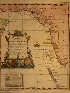
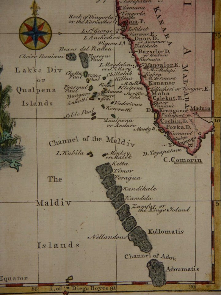
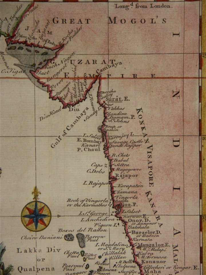
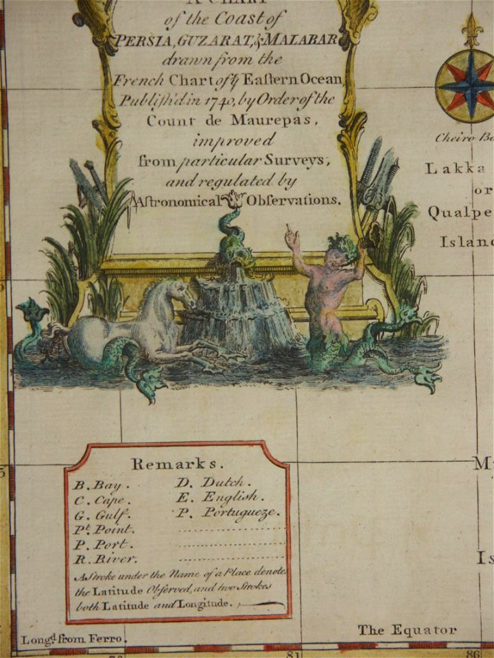
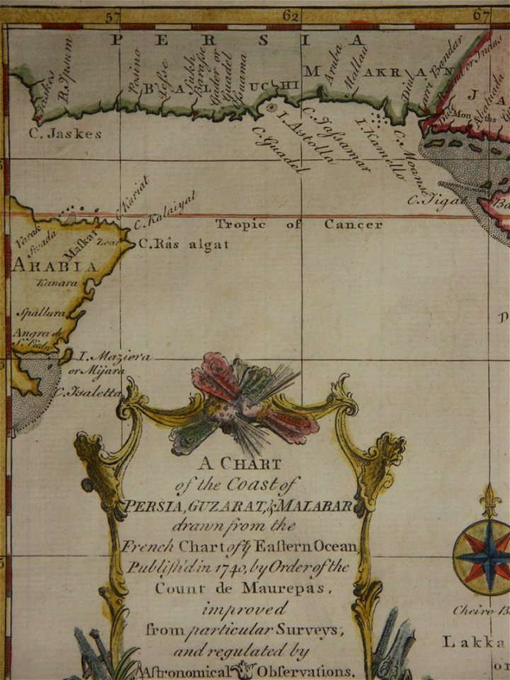
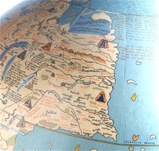
18th-century maps of india
thomas salmon (historian)
18th-century maps of india
thomas salmon (historian)
18th-century maps of india
thomas salmon (historian)
18th-century maps of india
thomas salmon (historian)
18th-century maps of india
thomas salmon (historian)
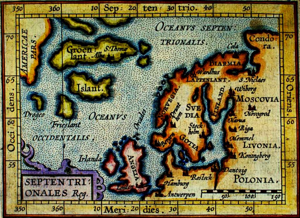
provided by landsbókasafn íslands
old maps of iceland
provided by landsbókasafn íslands
old maps of iceland
provided by landsbókasafn íslands
old maps of iceland
19th-century maps of stockholm
lidingö kommun
charts and maps of the royal museums greenwich
charts and maps of the royal museums greenwich
charts and maps of the royal museums greenwich
charts and maps of the royal museums greenwich
charts and maps of the royal museums greenwich
charts and maps of the royal museums greenwich
charts and maps of the royal museums greenwich
charts and maps of the royal museums greenwich
charts and maps of the royal museums greenwich
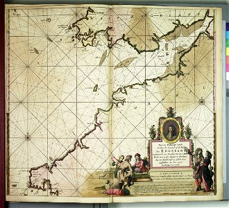
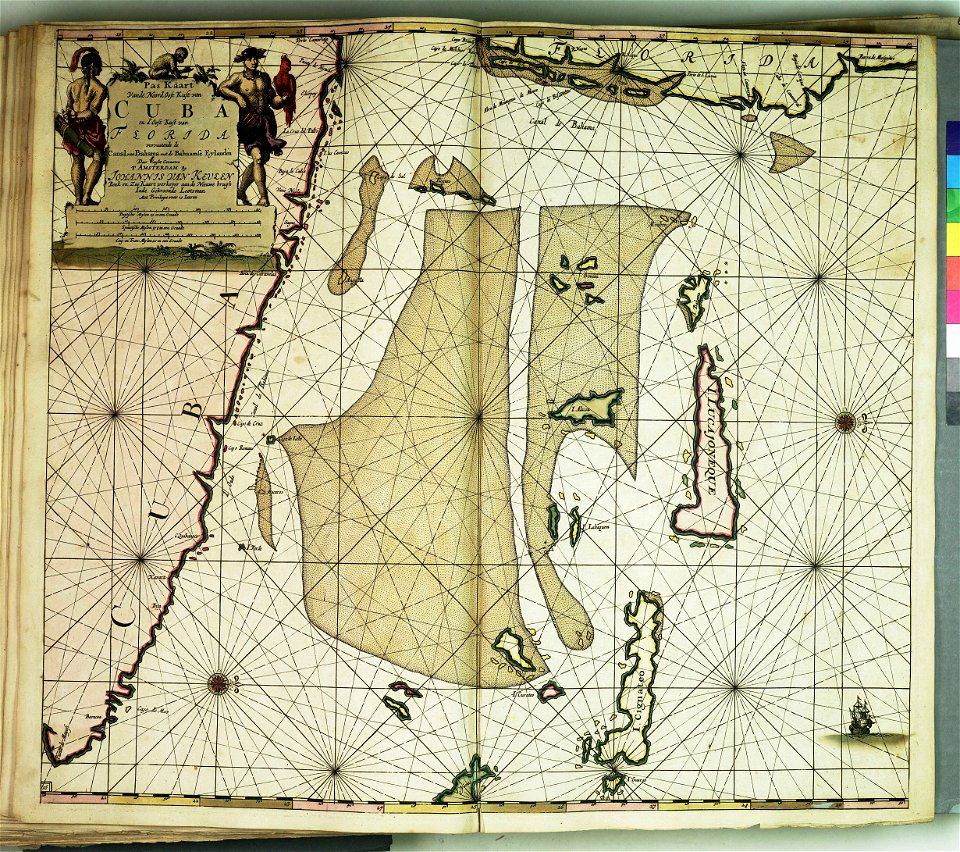
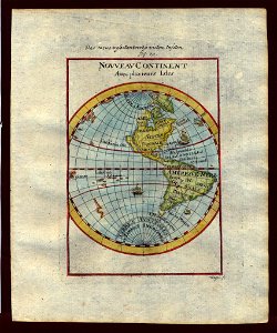
17th-century maps of the americas
scottish americans
kvarnholmen
maps
theatrum urbium (1610)
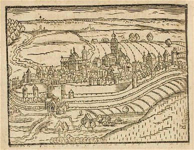
maps of schweinfurt
description de l'universe
1710s maps of the world
description de l'universe
old maps of saudi arabia
old maps of southeast asia
description de l'universe
5801 - 5900 of 1,095,938
Next page
/ 10960